Stunning Drone Photography and Mapping
Our services.
-
Photography
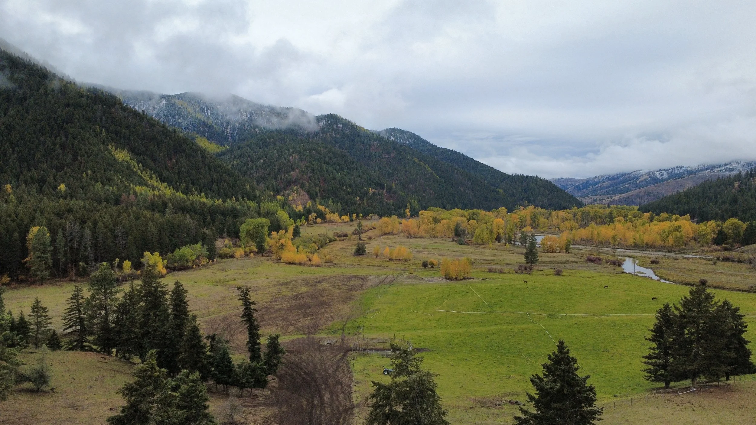
Capture stunning aerial perspectives with our professional drone photography services at Western Technology Solutions. Utilizing advanced drone technology, we provide high-resolution images and videos ideal for real estate photography, event photography, construction monitoring, wedding and corporate event coverage, and landscape documentation in Western Montana. Our certified operators ensure safe, precise flights and deliver visually compelling content that elevates your property listings, special occasions, and project marketing efforts. Whether you need striking real estate photos to attract buyers or dynamic event coverage to preserve memories, trust us to bring a fresh, dynamic viewpoint to your visuals, enhancing your business’s storytelling and promotional impact.
-
Surveying
Drone mapping and surveying services in Western Montana provide highly accurate aerial maps and comprehensive spatial data essential for ranchers, residential property owners, and construction companies. This cutting-edge approach reduces time, labor costs, and human error while enhancing land management, site planning, and project monitoring. Ranchers benefit from efficient grazing management and fence inspections, homeowners gain accurate land assessments and boundary evaluations, and construction companies improve site development tracking and equipment management. By embracing drone mapping, clients optimize land use, cut expenses, and elevate decision-making, revolutionizing how they visualize and manage their properties and projects with superior efficiency and precision.